Financing Round 2022-2023
Mining Season 2022
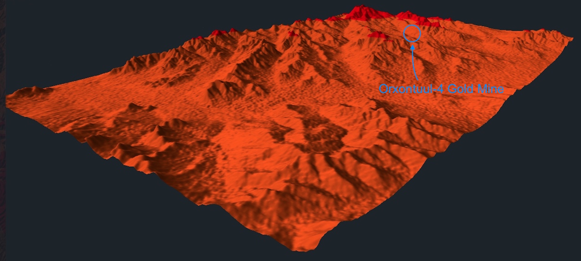
Orxontuul-4 on Sale
Mining Situation in 2020-2021
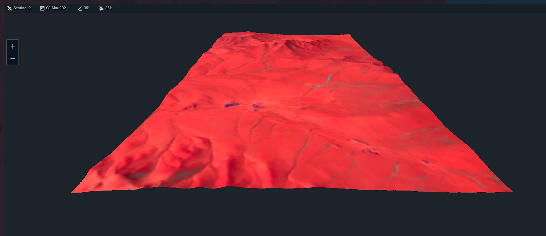
Earth Observation Satellite Images
news 2022.12.23

News 2022.12.13

News 2022.11.28


News 2022.08.30-2

News 2022.08.30-1

News 2022.05.22

News 2022.05.02-3
News 2022.05.02-2

News 2022.05.02-1

News 2022.04.02

News 2022.03.28


News 2022.03.09

News 2022.02.11


News 2022.01.17

News 2021.12.28

News 2021.12.27

News 2021.11.21

News 2021.11.13

News 2021.11.08


News 2021.10.17


News 2021.10.12


News 2021.10.04

News 2021.09.29


News 2021.09.27


News 2021.09.19


News 2021.09.09


News II 2021.08.05

News 2021.08.05

News 2021.07.14

News II 2021.06.11

News 2021.06.11

News 2021.05.21

News 2021.05.20


News 2021.05.02

News 2021.05.01

News 2021.04.22

News 2021.04.20


News 2021.04.17

News 2021.04.07

News 2021.04.02

News 2021.03.31

News Galgatain 2021.03.30


News 2021.03.23

News 2021.03.21

News 2021.03.16

News 2021.03.13

News 2021.03.08
News 2021.03.05

News 2021.03.01


News 2021.02.26

News 2021.02.24

News 2021.02.21

News 2021.02.17


News 2021.01.02

News 2020.12.15

News 2020.11.29

News 2020.10.28

News 2020.09.26

Copyright Alpha Goldmines 2021-2022 All Rights Reserved